

SC I-95 Improvements from US 278 (Exit 8) to
SC 336 (Exit 21)
Public Hearing

How to Participate
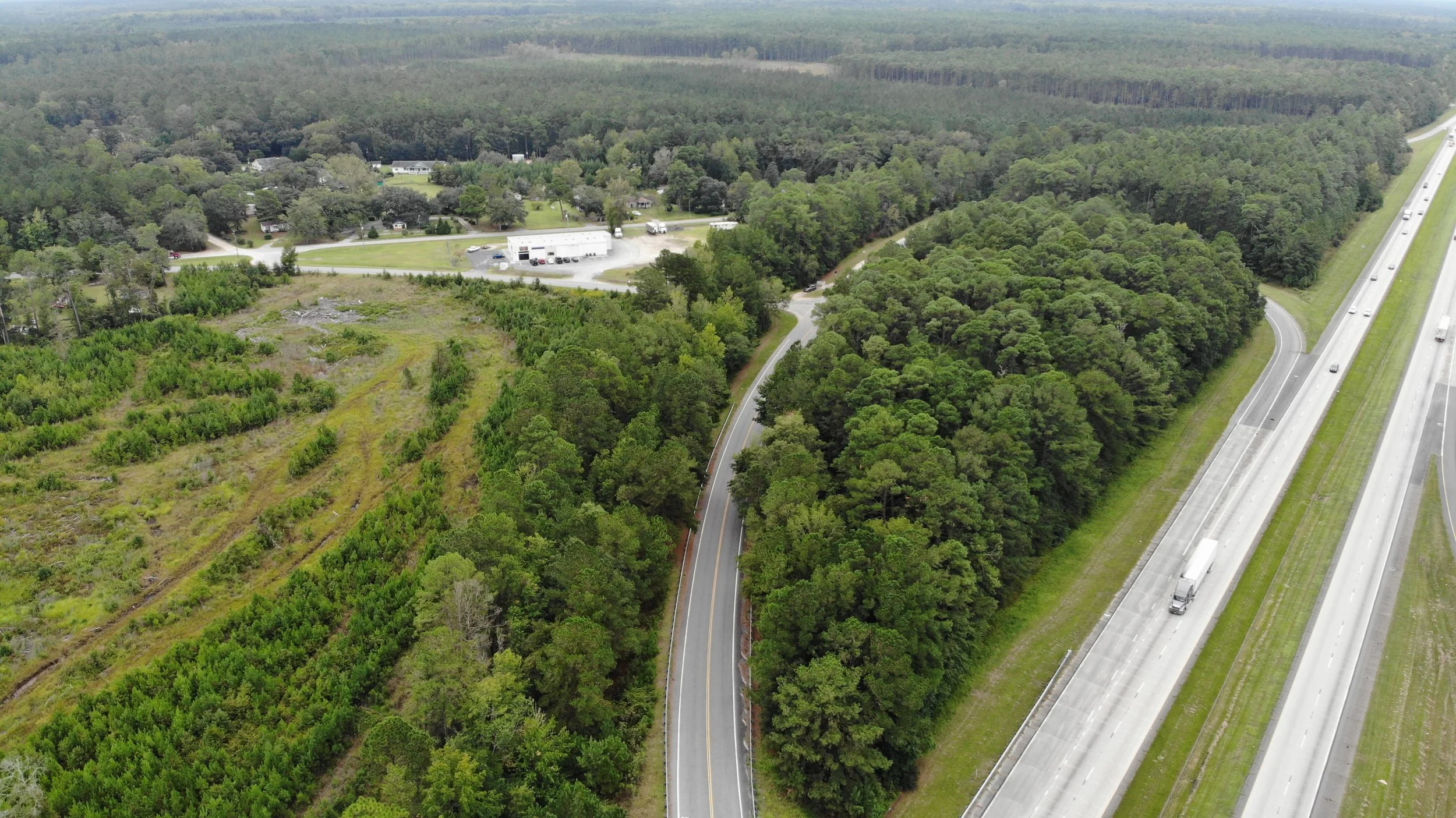
Building on the improvements currently being constructed on I-95 from the Georgia border to Exit 8, SCDOT is evaluating ways to Fix the Drive on I-95 between Miles 8 and 21 while planning for future growth in this corridor.
The official public comment period closed on October 2, 2025
An in-person public hearing on the proposed I-95 improvements from US 278 (Exit 8) to SC 336 (Exit 21) was held on Thursday, September 11, 2025. The materials shared at the meeting are available below.

Attend the In-Person Public Hearing


When
Thursday,
September 11, 2025
4-7 p.m.
Schedule
Open House: 4-6 p.m.
Presentation &
Verbal Comments: 6 p.m.
Where
Lakeside at Blue Heron
153 James L. Taylor Dr.
Ridgeland, SC 29936
Those who wish to stand and present a verbal comment at the in-person public hearing can do so by signing up at the check-in table before 5:55 p.m. Persons with disabilities who may require special accommodations should contact Ginny Jones at 803-737-1276. Un traductor de español estará disponible en la reunión.

View Materials & Comment Online
Review the meeting handout and additional materials on the webpage below:

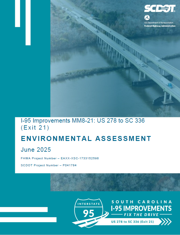
Read the Environmental Assessment
In cooperation with the Federal Highway Administration (FHWA), we have developed an Environmental Assessment (EA) for this project, following all National Environmental Policy Act (NEPA) guidelines.
The EA is a comprehensive document that:
Reviews all proposed alternatives
Evaluates potential impacts to both the natural and human environment
Summarizes technical studies, agency coordination, and community input gathered
You can view the full EA and its detailed appendices on the Environmental Documents page. We encourage you to explore the materials and learn more about how this project could affect your community.
A hard copy of the EA was available for review at the following locations:
At the in-person public hearing on September 11, 2025
Ridgeland Senior Center (444 Wise St. Ridgeland, SC 29936)
Pratt Memorial Library (112 Weathersby St. Ridgeland, SC 29936)
SCDOT Jasper Co. Maintenance Shed (150 E. Woodlawn St. Ridgeland, SC 29936)
SCDOT Headquarters (955 Park St. Columbia, SC 29201)
Fixing the Drive on I-95
I-95 is a vital gateway to South Carolina – connecting our state to the entire East Coast and our economy with the world.
Through a combination of widening, resurfacing, interchange improvements, and the replacement or rehabilitation of aging bridges along the I-95 corridor, SCDOT is taking a comprehensive approach to “Fix the Drive on I-95.”The proposed improvements detailed on this webpage are part of this larger effort.
For a full list of Fix the Drive projects, visit our project webpage.
Click the images for a larger view of the information. These images are duplicates of the boards and materials that were presented at the in-person public hearing on September 11, 2025.
Program Overview
Program Map
About this Project
SCDOT is proposing improvements on I-95 between US 278 (Exit 8) and SC 336 (Exit 21). The purpose of this proposed transportation project is to improve capacity, mobility, and operations along the 13-mile corridor of I-95, between Mile Markers 8 and 21, and to address operational deficiencies for interchanges and bridges within the study corridor. This means providing more space that’s better configured to move people and goods throughout the corridor.
Why is this project needed? The region is growing and is anticipated to continue growing, with more residents and economic opportunities. This means more traffic, and we need to accommodate for future growth.
Transportation improvements are needed to address operational capacity and traffic operational issues on the I-95 mainline, as well as traffic operational deficiencies on interchanges and bridges along the corridor. The need for the project stems from projected increases in congestion.
Click the images for a larger view of the information.
Study Area
Purpose & Need
Project Development Process
Keeping You
Moving on I-95
With the continued growth in residents and jobs surrounding the region, it is also anticipated that there will be more demand to use this portion of
I-95 (more cars and trucks on the road). This image shows how this proposed project would Fix the Drive on I-95 by adding a third lane in each direction and improving interchanges.
While the Recommended Preferred Alternative is not projected to improve performance for the northbound evening rush hour, it would:
Improve conditions during other rush hour periods
Increase overall roadway capacity
Widen bridges to allow for future lane additions to I-95
Click the image for a larger view of the information.
Improving Capacity, Mobility
& Operations
Alternatives
Analysis
Each of the alternatives identified were evaluated against the same set of criteria through a multi-step process. The goal? Find the best option that balances improvements with potential impacts to the community and natural environments.
With each step, the analysis becomes more detailed and the lowest-performing alternatives are eliminated. Public and stakeholder input were essential in narrowing the options.
Ultimately, this process resulted in what is known as the “Recommended Preferred Alternative” or RPA.
Click the image for a larger view of the information.
Evaluating Alternatives
Potential Impacts
Infrastructure improvements must carefully consider environmental factors to minimize impacts. This table details the potential environmental impacts of the Recommended Preferred Alternative including wetlands, wildlife habitats, and cultural resources.
These environmental factors were considered and quantified as part of the alternatives analysis process.
Click the image for a larger view of the information.
Potential Environmental Impacts
Recommended Preferred Alternative
As part of the Environmental Assessment, a range of potential improvements, known as alternatives, were developed to address capacity, mobility, and operational deficiencies along I-95 and at Exits 18 and 21. These alternatives were shared earlier this year. Through the screening process explained above, these alternatives were narrowed down to identify the Recommended Preferred Alternative (RPA).
Click the buttons below to view PDFs of the recommended preferred alternative. PDFs will open in a new window.
All of the proposed improvements along I-95, which includes widening I-95 from 2 to 3 lanes between mile marker 8 and mile marker 21
Corridor Map
Exit 18
RPA: Partial Cloverleaf B
The RPA for Exit 18 is Alternative 3, which includes a partial cloverleaf with ramps designed to accommodate the widened mainline. This plan follows modern roadway standards to fix current design issues. It keeps I-95 in its current position but slightly adjusts S-27-13 and removes Bees Creek Road from connecting to the northbound ramp, while providing direct access to Hummingbird Drive.
For drivers heading north, the exit ramp would be made shorter and would meet S-27-13 at a safer, right-angle intersection with a stop sign. A loop ramp would be built for drivers getting onto northbound I-95 from S-27-13. The ramps for southbound traffic would also be realigned to meet S-27-13 at better angles, with stop signs for safety. These changes are meant to improve merging and exiting, as well as to better control traffic flow.
Other improvements include closing Bees Creek Road at the interchange and adding a cul-de-sac to reduce traffic conflicts. Acceleration and deceleration lanes at the nearby truck rest area would also be upgraded to address existing lane issues and help keep traffic moving smoothly.
Alternative Design Option: Roundabout
SCDOT is dedicated to delivering a transportation network that is safe, well-maintained, and supports new economic opportunities and businesses. As responsible stewards of taxpayer dollars, SCDOT employs a rigorous process known as Value Engineering - a strategic approach to identifying opportunities that reduce costs and minimize construction impacts without compromising safety or effectiveness.
Through this process, the team is evaluating a potential revision to the intersection of the southbound ramps with Bees Creek Road at Exit 18. This Alternative Design Option would convert the stop-controlled intersection to a roundabout, which would lead to a reduction in width of the overpass bridge over I-95 at Exit 18. This Alternative Design Option is projected to save approximately $2 million and slightly reduce the impacts to wetlands while still improving the drive on I-95. Following the public hearing, this Alternative Design Option may be incorporated along with other potential refinements, based on the public input received before FHWA final approval.
Exit 21
RPA: Diamond Interchange
The RPA for Exit 21 is Alternative 1, which keeps the existing interchange footprint but makes some important upgrades. The required 17-foot vertical clearance height would be provided for drivers on SC 336, which would bring the interchange up to modern roadway design standards. For drivers leaving I-95, new signage would clearly mark the lanes for turning or continuing straight. These changes are designed to make driving through this interchange safer and to help traffic move more smoothly.
Earlier this year, residents provided input about the Juanita M. White Pedestrian Bridge, noting concerns about lighting and visibility. In response, SCDOT is proposing new fencing and lighting enhancements as part of this project. These updates are designed to improve visibility, increase safety for all users, and help preserve the bridge as a vital connection between neighborhoods.
What's Proposed:
Lighting improvements to help users feel safer when crossing at night or during low-light conditions
New fencing upgrades to create a more secure and enclosed crossing
The rendering shown here provides a visual for what these proposed upgrades may look like. Click the image for a larger view of the information.
Your Feedback at Work!
Juanita M. White
Pedestrian Bridge
Right-of-Way Acquisition
Right-of-way (ROW) acquisition is a key step in delivering transportation improvements. This image explains SCDOT's full right-of-way process, which assures transparency, compliance with federal guidelines, and support for affected property owners and residents through design, appraisal, and relocation.
There are zero home acquisitions proposed for this project!
Click the image for a larger view of the information.
Typical Right-of-Way Process

Looking for specific information on how your property could be impacted by the recommended preferred alternative?
How to Comment
We value your input. Please share your feedback using our comment form below. The official public comment period closed on October 2, 2025.
NOTE: Information provided, including name, address, and email, will be published and is subject to disclosure under the Freedom of Information Act.

This comment form is only for feedback related to I-95 improvements from miles 8 to 21. Looking to comment on improvements from miles 22 to 33? Click here.


Craig Winn, PE
c/o South Carolina Dept of Transportation
P.O. Box 191, 955 Park St.
Columbia, SC 29202-0191

In-person
(Written or Verbal)
At the public hearing:
September 11, 2025 | 4:00 - 7:00 p.m.
Lakeside at Blue Heron
153 James L. Taylor Dr.
Ridgeland, SC 29936